fbpx

VR Tours at Achillion museum and Diros caves

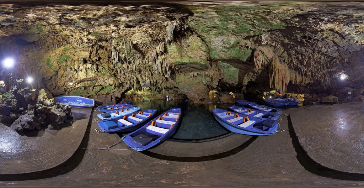
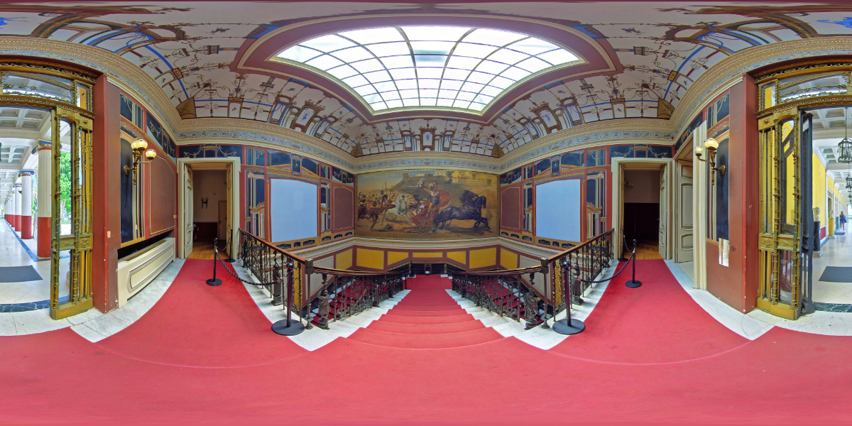
Together with the Hellenic Public Properties Company we created two unique Virtual Tours both at the Achillion Museum of Corfu and in the caves of Diros at Laconia. In addition to the 360 photographic material (spherical photos) , the Virtual tours were enriched with texts, photographs, audio files, background music, but also the bibliography on which the rich information material was based.

At the same time, HPPC, according to Corporate Social Responsibility, made this new program of virtual 360-degree tours available free of charge to the Ministry of Educatio, which, after the recent approval of the Institute of Educational Policy, will be available during the new school year in all the schools of the country, giving the opportunity to the students to discover the cultural and natural wealth of Greece.

Do we in VR360 feel proud?  Yes indeed!

Θρίαμβος Αχιλλέα


New 360 photos for the metro stations (STASY)

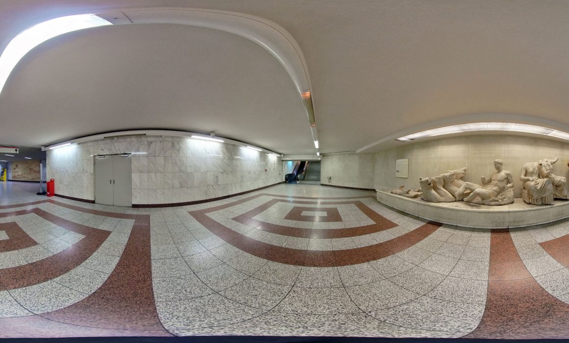
Another “digital step” is being made by STASY SA (Public Transport SA) with approximately 300- 360 degree photos by VR.360.gr for all Metro, Line 1(Elektrikos) and Tram stations. They were tested and approved by Public transportation officials and since April 2019 they are being posted on Google Maps / Google Street View digital maps.

In this way STASY aims at upgrading the services provided to the citizens of Athens, as well as the visitors from all over the world and uses modern technology to facilitate digital navigation media.

Realizing that the way information, navigation and routing in metropolises around the world have changed, STASY Management began 8 months ago the huge task of recording stations with 360-degree photographs. The aim is to serve our passengers, Greeks and foreigners, as well as to create a sense of security for visitors from all over the world, that they have arrived at the right destination and that this is the right impression of the space overall.

In the two months since the first global photo uploads (360 degrees) on the international Google Maps / Google Street View mapping system, hundreds of thousands of internet users have been served, assisted, and launched using global photos of Metro, Line 1 and of Tram. Digital “visits” to STASY network stations are growing at a rapid rate as millions of tourists come to our country fully familiar with digital routing via Google maps and in June the views of Syntagma Station more than 400,000 views, while STASY official photos had over 100,000 views. Correspondingly, about 100,000 views had the 360 ​​degree photographs of STASY at the Acropolis station and about 50,000 of Omonia station.

View on Google Maps:

Acropolis station

https://goo.gl/maps/FHAnB1yJ6hTeo4qy7

https://goo.gl/maps/rQdXm9xir59YLCmc7

Syntagma station

https://goo.gl/maps/3ziiqP94jBhCPKXGA

https://goo.gl/maps/whvdEPtd1vjaSFdC8

Omonia station

https://goo.gl/maps/xCRsVS3qoQQpUTWz8

Piraeus station

https://goo.gl/maps/yHZihZzcU3jSbjmbA

Flisvos station (tram)

https://goo.gl/maps/JTR59C2HZAYGFMqd7


Privacy Settings
We use cookies to enhance your experience while using our website. If you are using our Services via a browser you can restrict, block or remove cookies through your web browser settings. We also use content and scripts from third parties that may use tracking technologies. You can selectively provide your consent below to allow such third party embeds. For complete information about the cookies we use, data we collect and how we process them, please check our Privacy Policy
Youtube
Consent to display content from Youtube
Vimeo
Consent to display content from Vimeo
Google Maps
Consent to display content from Google